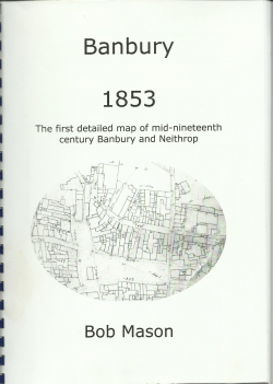
Banbury 1853: the first detailed map of mid-nineteenth century Banbury and Neithrop
Type
Publication
Authors
Category
Oxfordshire
[ Browse Items ]
Publication Year
2004
Publisher
Banbury Historical Research, United Kingdom
Pages
45pp.
Tags
Abstract
For the first time a copy of one of Banbury's most important historical maps is made availanle in a convenient form. Based on a 40 foot square map in the Oxfordshire Record Office, this book contains enlargements of the details for every street in Banbury and Neithrop. Although earlier maps exist, they often do not show much detail of the area outside the borough boundary known as Neithrop. This map provides a detailed picture not only of the houses, but also of the smaller buildings and workshops which formed the townscape of Banbury.
Number of Copies
1


